Sunday, November 20, 2011
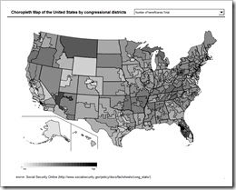
Choropleth map
Choropleth maps are thematic maps that use a predetermined set of aerial units. These can be things such as states, counties, or even political boundaries. These maps are used when there is a need to show a statistical variable such as per capita income. Choropleth maps can be either classified or unclassified.
Link: http://www.clearlyandsimply.com/clearly_and_simply/2009/06/choropleth-maps-with-excel.html
Subscribe to:
Post Comments (Atom)
No comments:
Post a Comment